Last Updated on February 24, 2023
No signal. No map. No streets. 5 days on foot. Carrying all our belongings. Sleeping in tents and cooking on a gas bottle.
What we found in Patagonia, southern Chile, is considered as one of the most beautiful treks in the world. 80km trekking the W – a path in the Torres del Paine national park, that looks exactly like this letter from aerial perspective.
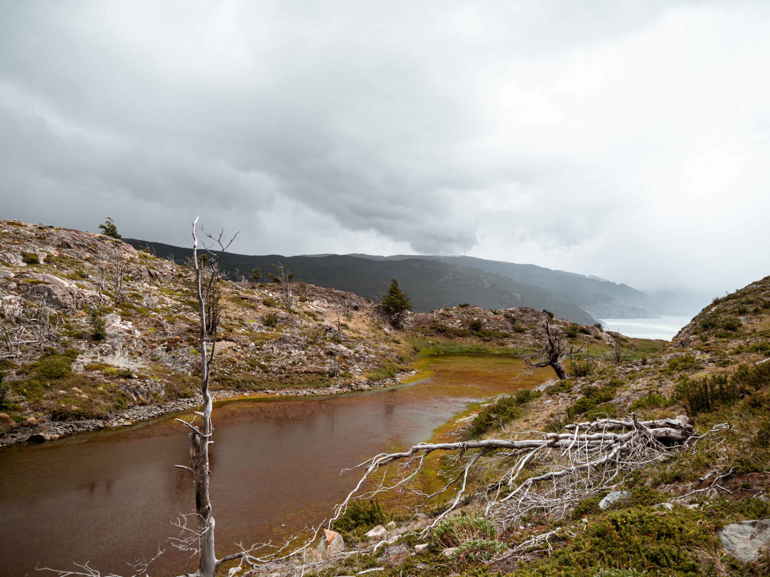
The national park covers 2420km² of wild nature, snowcapped mountains, blue glaciers, crystal clear lakes, and golden pampas. Between the Magellanic Subpolar Forest and the Patagonian Desert, a wide range of unique animals found their home in the park, such as lama-like Guanacos, pumas, Darwin’s Rheas, condors, and foxes.

The name of the park is Tehuelche, the language of the indigenous people of Patagonia. Paine means sky-blue and therefore the park is named “Towers of the blue sky”, while the towers refer to the most famous sight of the park.
Me and my friend trekked the W together and in the following you can read our experience.
Day 1 – 11km
Arriving at Torres del Paine
It’s still dark outside while we sit in the warm hostel kitchen and have breakfast at 6am. Everything is packed up in our backpacks and we are dressed from head to toe in trekking gear. As the sun comes out, we make our way to the bus station. Although it’s only a short walk, I feel the 10kg in every rib and seriously wonder what I was thinking. 80km in 5 days. Without any previous trekking experience. Let’s just hope it’ll work out.
The bus takes us to the entrance of the Torres del Paine national park, located 140km north of Puerto Natales. After showing the QR-Code of our reservation, we’ll continue with the bus. Looking through the window, we already get a first impression of what awaited us the next few days. Grass-covered hills pass by, with guanacos grazing on them from time to time.
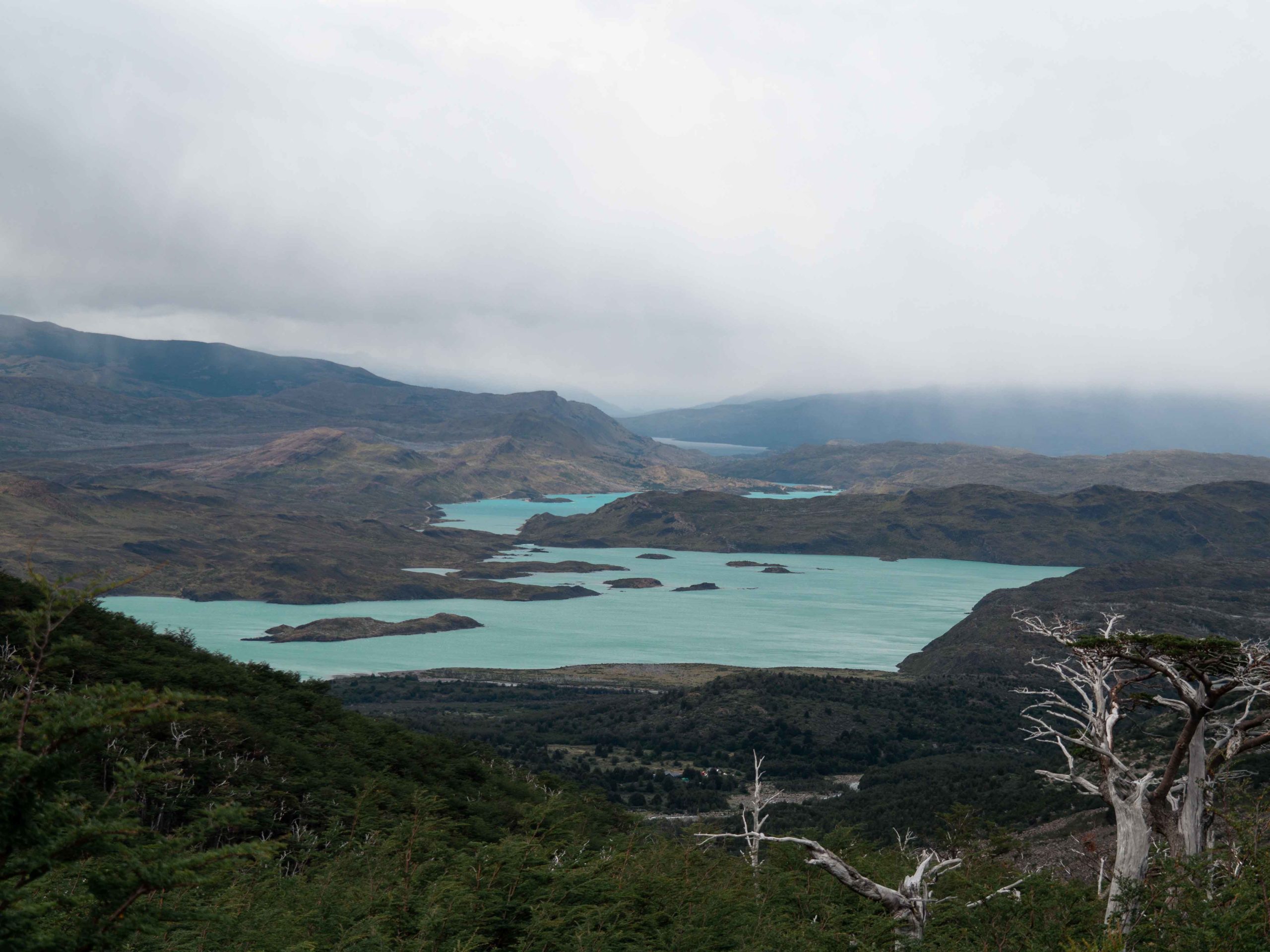
Finally, we arrive at Laguna Pehoé – a beautiful lake with the most turquoise water I have ever seen. With the view of water glistening in the sun, we sail across the lake until we dock at Camping Paine Grande. Now the trek really begins. And just the thought of being on foot for the next 5 days – without phone signal or map – awakens a queasy feeling in me.


Hiking to Camping Grey (11km)
Without hesitating – also because of the heavy rain, that has just started – we start our first trek. 11km to Camping Grey. Seems easily manageable.
Yet, the weather conditions don’t get any better. It’s freezing. In addition, now we have to start climbing up. My legs – holding the heavy backpack – get to feel it. But there is no way back now. We arrive at a viewpoint, yet the view is barely visible. The sky is packed in dark clouds, that are pouring their rain on us. And as we keep going, it transforms into snow.
The not uncommon over 100km/h strong gusts whip it in our faces and we have a hard time keeping our balance. At a cliff we meet another hiker who recommends us to simply sit down when it is no longer possible to stand.
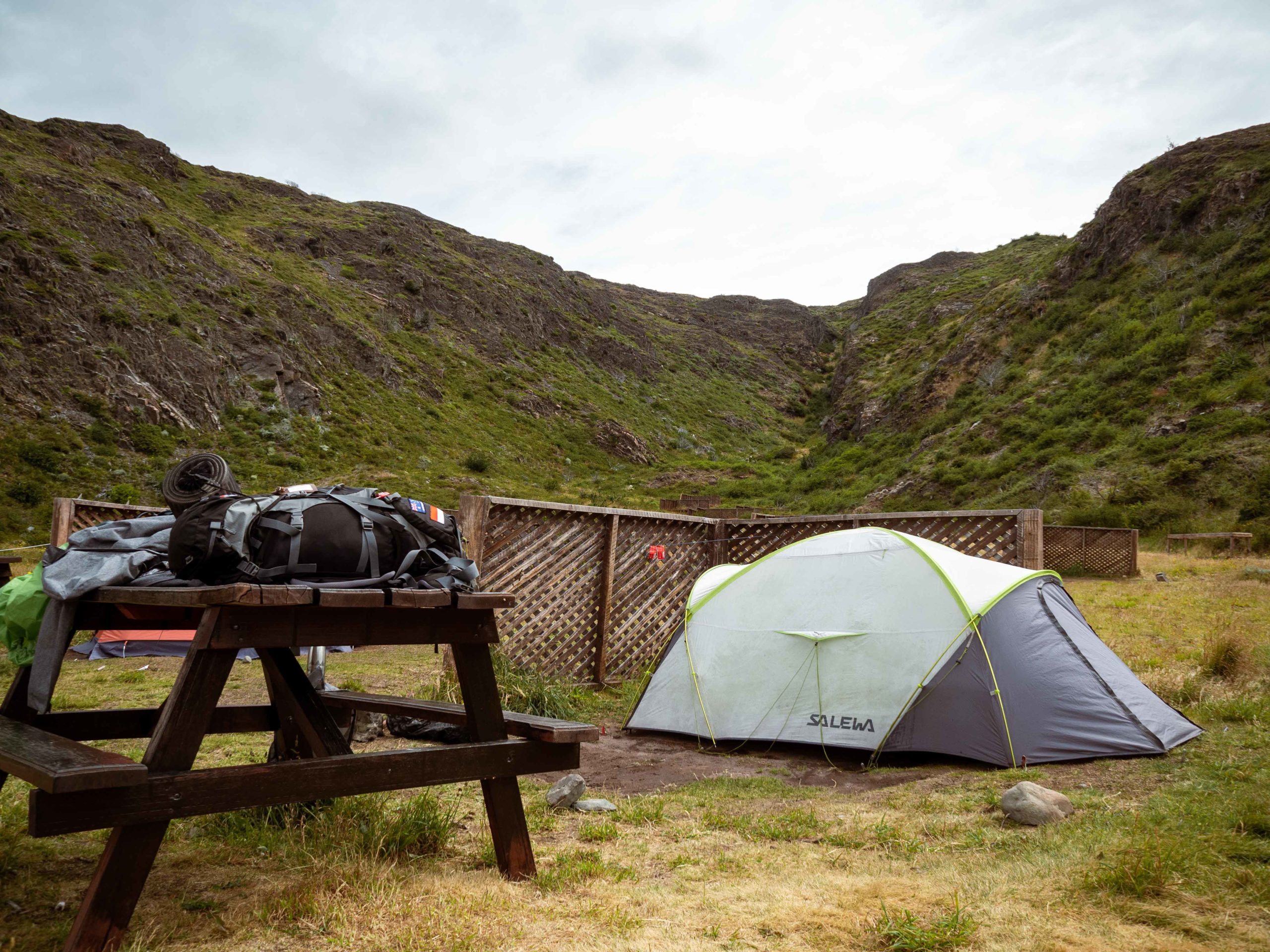
After what feels like forever, we are slowly reaching the campsite. On the last few meters, I feel like I’m dying and have absolutely no energy left. Soaked wet we finally see the houses of camping Grey. It’s still raining, but we decide to search for a place to set our tent. The ground is muddy and wet, raindrops are dripping from the surrounding trees and my hands feel frozen.
Totally exhausted we’re going to bed early. Even though I have the -17-degree sleeping bag, I feel a bit cold in the night.
Day 2 – 15,5km
Glacier Grey in the morning (4,5km)


Our second day starts not that much different compared to how the first day ended. It’s still pouring rain/snow and freezing cold. Nonetheless we pack our wet tent, which leaves me without feeling my fingers anymore.
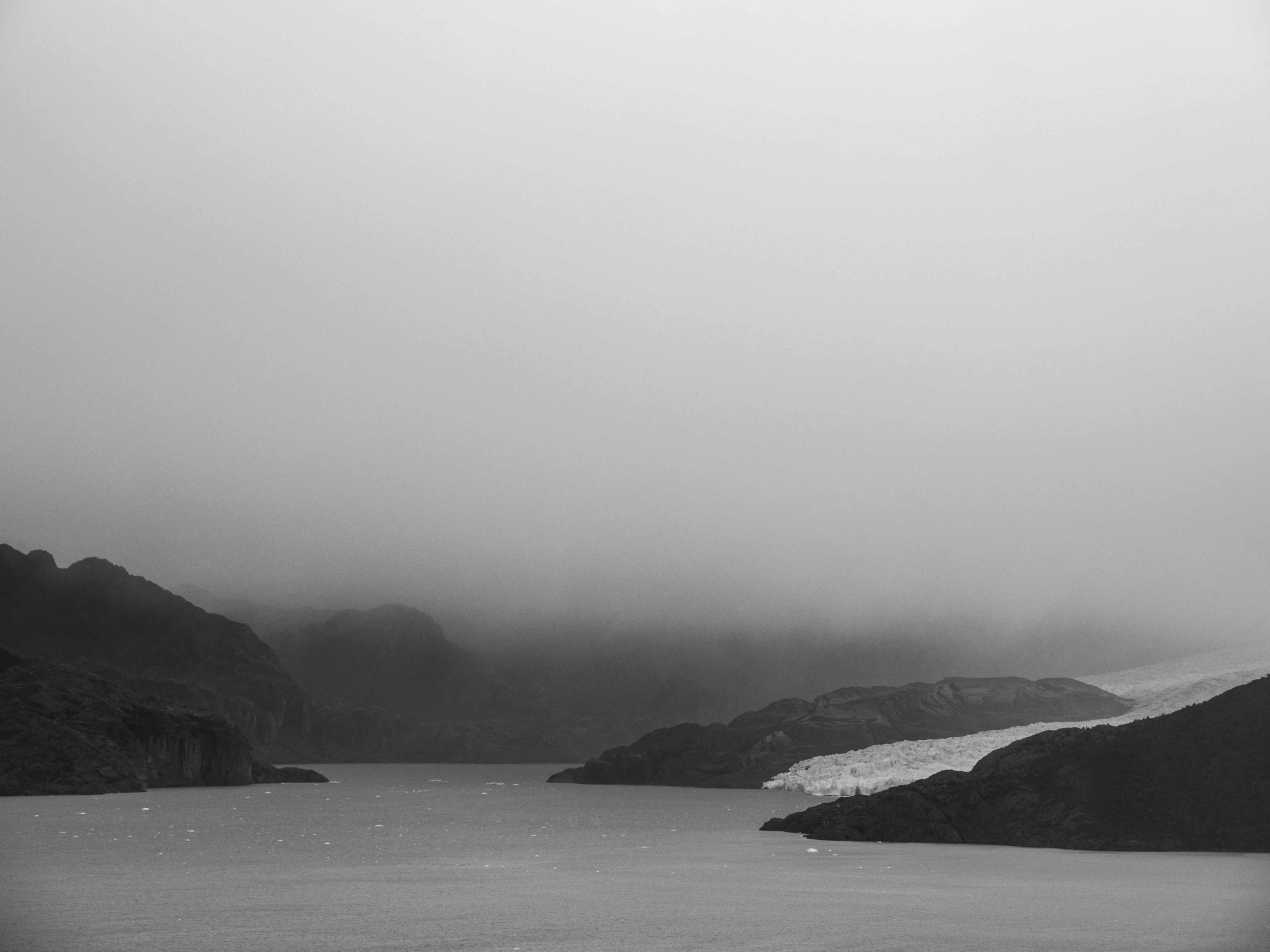
The morning we are wandering around the forest to reach the Glacier Grey. Settled in the Lago Grey, named after its 500m deep and grey water, the blue glacier – covered in clouds – towers in front of us. It’s the first time seeing a glacier and it’s indeed impressive.
Then we continue to some wooden bridges to get a closer view. However, at some point, it appears to be the better idea to go back to the campsite. Since the rain doesn’t seem to stop and we are soaked wet, we just want to get somewhere warm.
Camping Grey to Camping Paine Grande (11km)

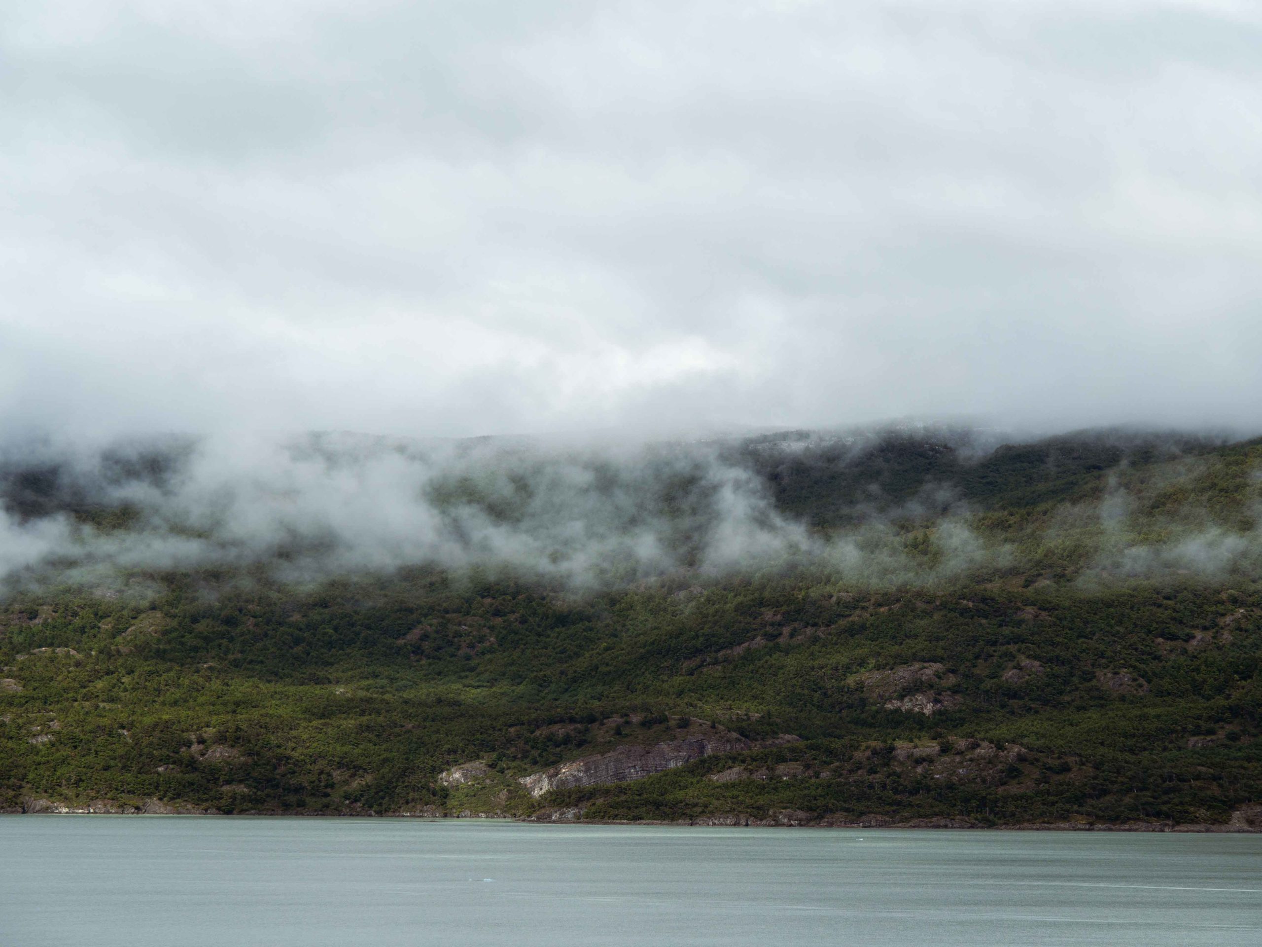
After a little break with hot coffee at the campsite – we’ve already hiked 4,5km – we pick up our backpacks once again and start the same trek back to Paine Grande (11km). This time we have to overcome the steep cliff, which we were climbing down yesterday. And yes, I was still dying. Luckily, on top the sky started to clear up and we had lunch overlooking Lago Grey.


From kilometer to kilometer, it starts to get warmer, the sun comes out, and I can’t believe that I am only wearing a t-shirt when we finally arrive. Indeed, I’ve read before that you can experience all kind of weather situations and all 4 seasons in one day here. Yet, I didn’t believe it – until now.
The campsite Paine Grande was probably my favorite of the entire trek. Surrounded by the impressive mountains including the name-giving Cerro Paine Grande on the one side and the turquoise Lago Pehoé on the other side. We set our tent, which is finally able to dry and start playing cards and cooking pasta. Once I look into the mirror, I can’t believe my eyes – I actually got a sunburn.
Day 3 – 23,5km
Camping Paine Grande to Camping Italiano (7,6km)
Day 3 is a though one. Not only the most kilometers of all, but also climbing up around 720m up and again 700m down. We wake up at 6am, pack our tent, cook porridge and then hike 7,6km to Camping Italiano. A campsite that is not offering spaces for the moment, but the base for our climb to 2 different viewpoints.
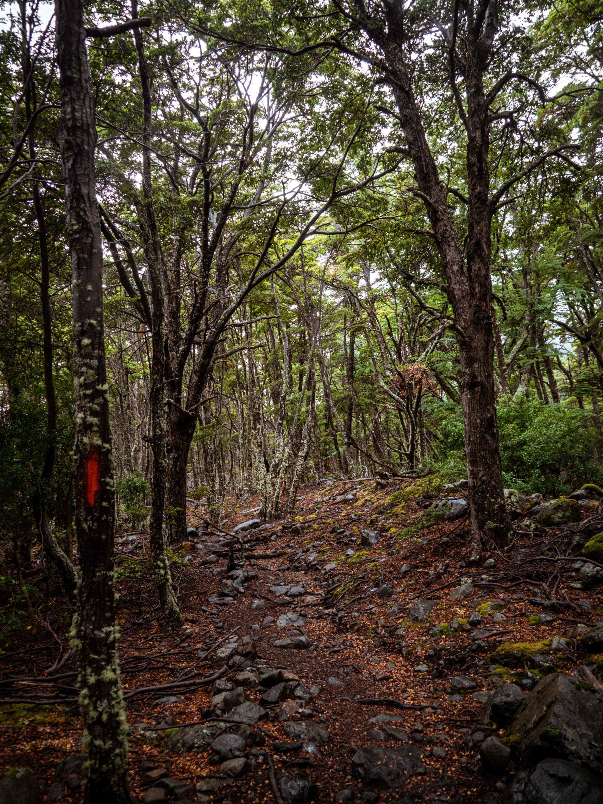
We start with an amazing view on Lago Pehoé, its turquoise water shining in the sun. Followed by a turn to Lago Skottsberg, another lake that couldn’t be more different – the water is colored in dark blue. The path leads along the lake, crossing bridges and along thundering waterfalls and rivers. Finally, we arrive at Camping Italiano, where we leave our backpacks to hike the next part of today’s trek without all the weight.


Hiking to viewpoint Francés and Británico (10,4km)
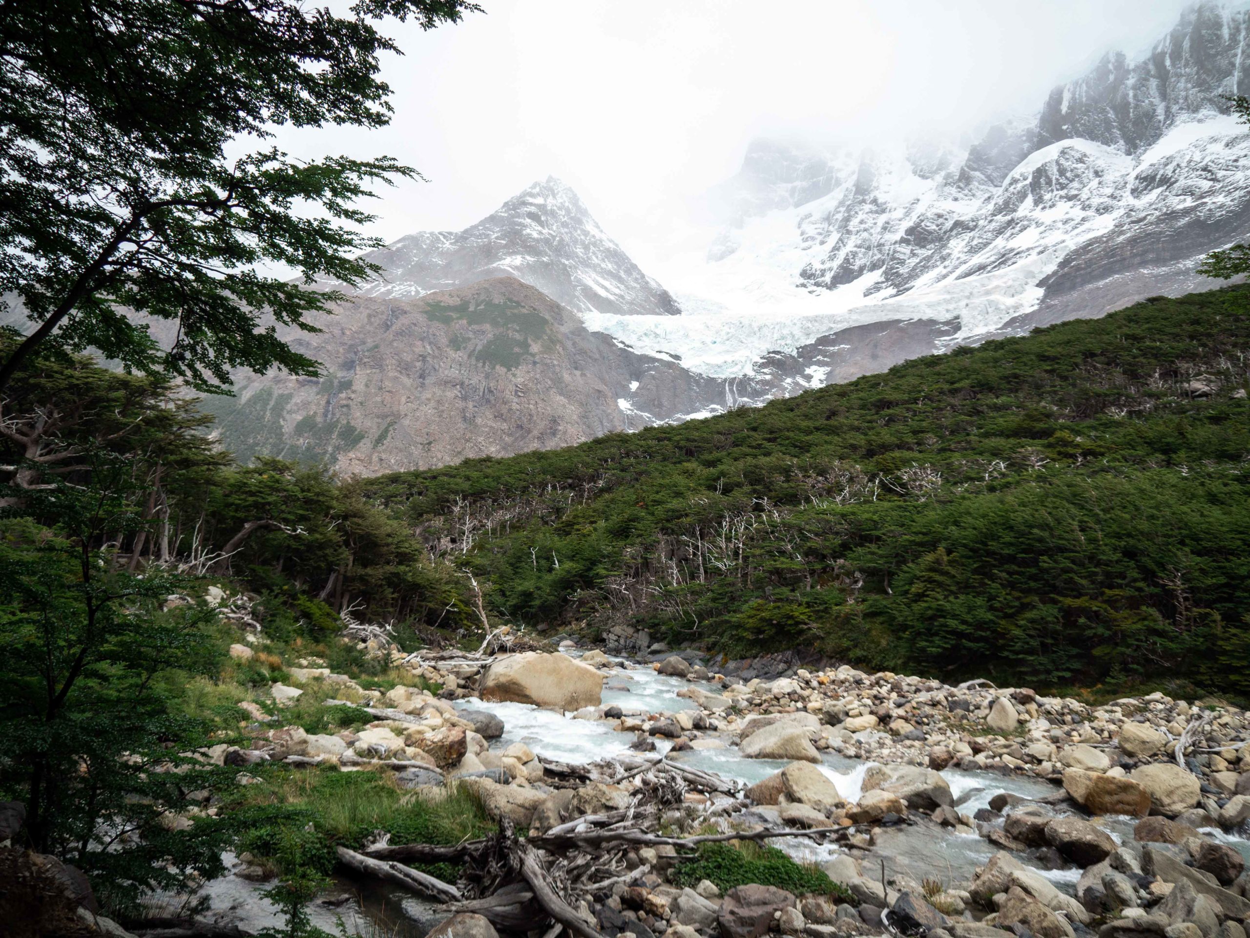
We don’t want to run out of time, because the ranger told us, it’ll take at least 5-6 hours climbing up and return (600m up). We start – a bottle of water and our cameras being the only equipment – and spend the next hours only climbing up. And it’s a real climb. Sometimes we don’t see the path anymore because we’re climbing rock after rock. Once we’re even climbing up in a river.
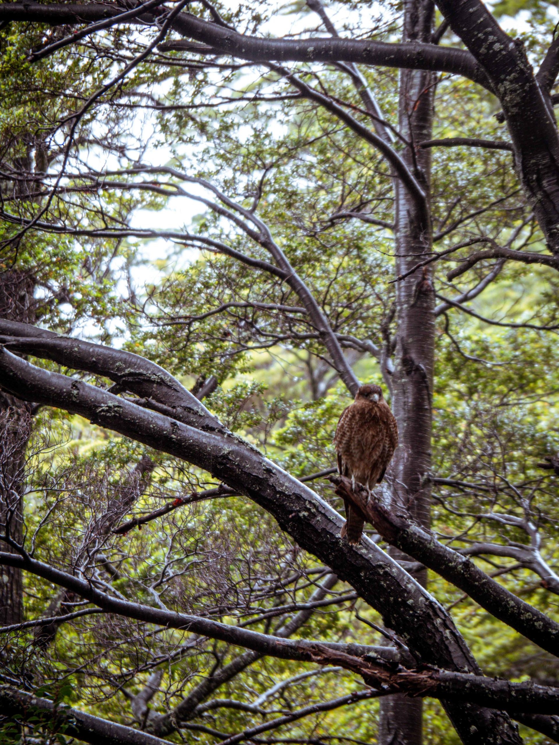
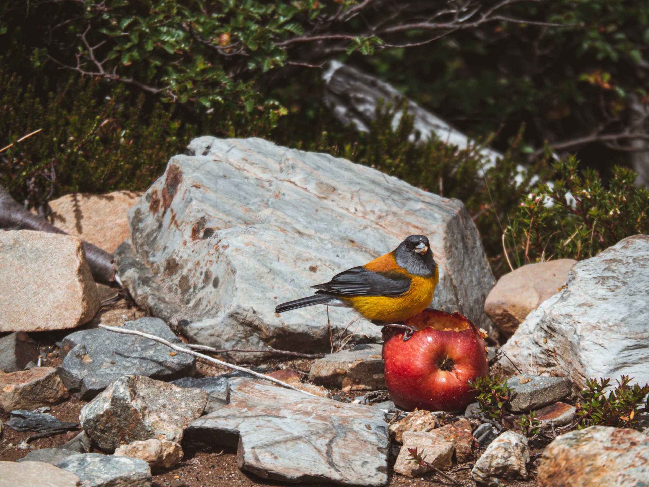
Mirador Francés welcomes us with an incredible view and a cute little bird eating an apple. After catching our breath, we continue to the Mirador Británico. The final climb isn’t easy and definitely the steepest part, but once again, we’re rewarded with a breathtaking view.
Camping Italiano to Camping Los Cuernos (5,5km)
Completely exhausted, we reach Camping Italiano again after about 5 hours of almost non-stop climbing. This probably doesn’t go unnoticed by the ranger working there. He invites us into his wooden office and even offers us fresh brewed coffee and a bar of chocolate. We talk about the trek, the animals in the park and then he shows us a bird book to compare with the photos we took.
Strengthened, we set off with our backpacks to accomplish the last 5.5km of today. At this point I am only functioning, ignoring all the pain in my feet and all the weight in my back.
This path now takes us along Lago Nordenskjöld, which is filled with incredibly turquoise water. After a while we reach a campsite, thinking that we made it. Unfortunately, it is Camping Francés, where we originally planned to stay, but was booked out.
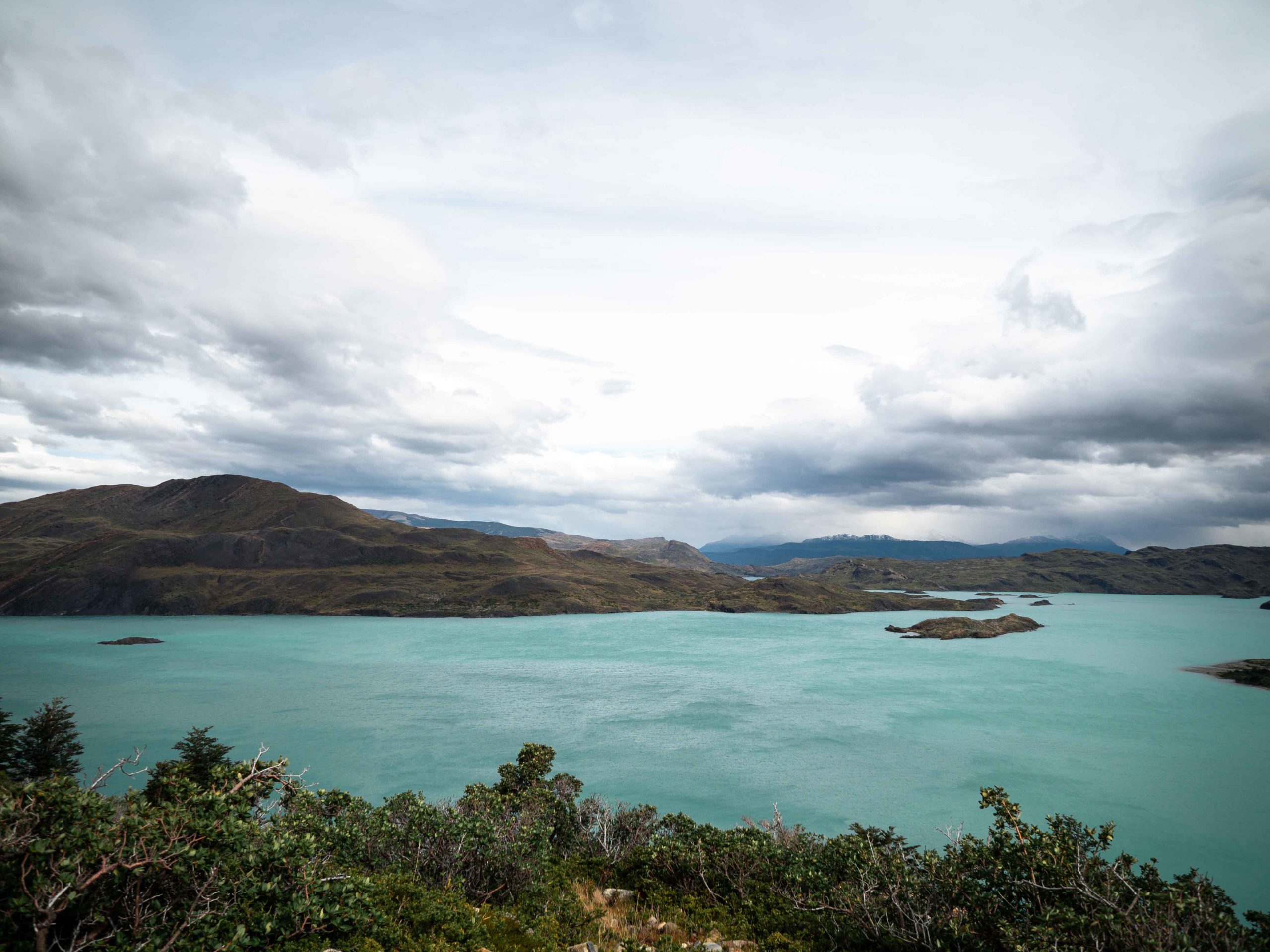
So, we continue, take a break at a stony beach, and then walk the last kilometers to the Camping Los Cuernos. I have no idea how we actually reached it, but I am happy that after 23,5km and about 10h of pure trekking we can finally sit down. A look at my feet says it all. I don’t even recognize them anymore.
We fall asleep immediately after cooking dinner. Tonight, we don’t have to build our tent, because we had to rent one, that is already built. Yet, I have no complaints at all being able to go straight to bed. The night turns out less relaxing than expected due to the strong wind that wakes me up several times. It feels like the tent is going to blow away within the next minutes.
Day 4 – 13km
Camping Los Cuernos to Camping Torres Central (13km)
After the long and exhausting day, we allow ourselves to “sleep in” today – until 8am. Today’s plan is reaching the Camping Torres Central, which is already the last station of our trek. The only difficulty – getting there. Due to the intense trek and already walking 50km, my feet really start to suffer. Our path continues along Lago Nordenskjöld, several rivers and forests.
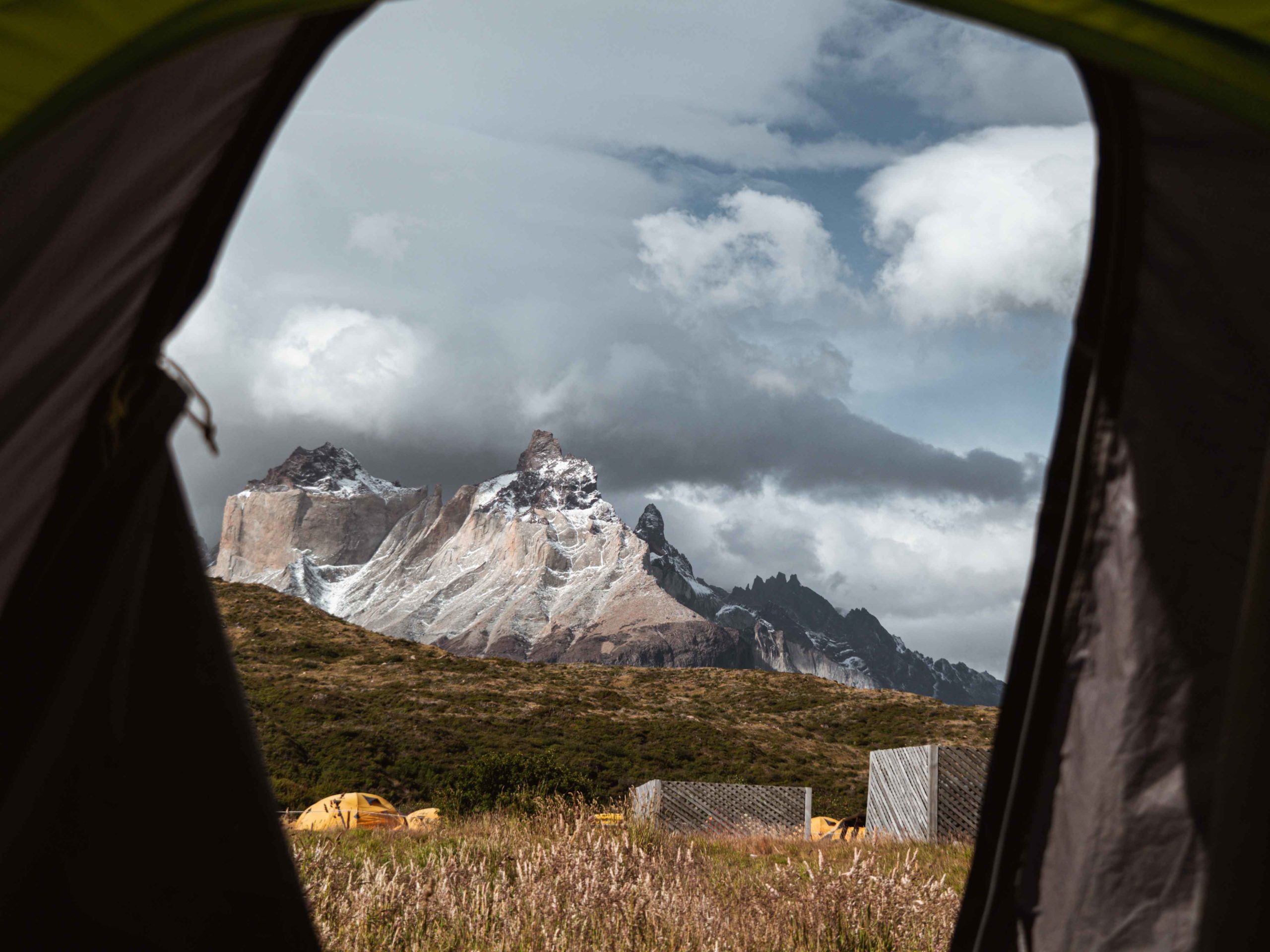
Then we arrive at Camping Torres Central and look for a place to build our tent. Behind us the mountains raise into the air, and we can hear the glaciers crack. Their broken pieces of ice are falling into the depths.
After a little nap, I can’t take the bladders anymore, even normal walking hurts too much. So, I decide to open them with our pocketknife, thinking about the trek that awaits us tomorrow. We go sleeping early at 8pm, but we surprisingly fall asleep immediately.


Day 5 – 20km
Hiking up to the Torres (20km)
Finally, we are about to see the last and most impressive highlight – the 3 Torres, which named the park. To see them for sunrise and avoid the crowds, we get up at 2am, strap on our headlamps and begin the climb. We are surrounded by pure darkness and nobody around. Nonetheless, I don’t complain, at least nobody gets to see how absolutely exhausted I really am.
After a while we reach the Refugio Chileno, where we take a little break and catch our breath again. Then we continue to the last hours to the top. The final climb is really tough, basically climbing a rock mountain. From the bottom the Torres are not even visible.
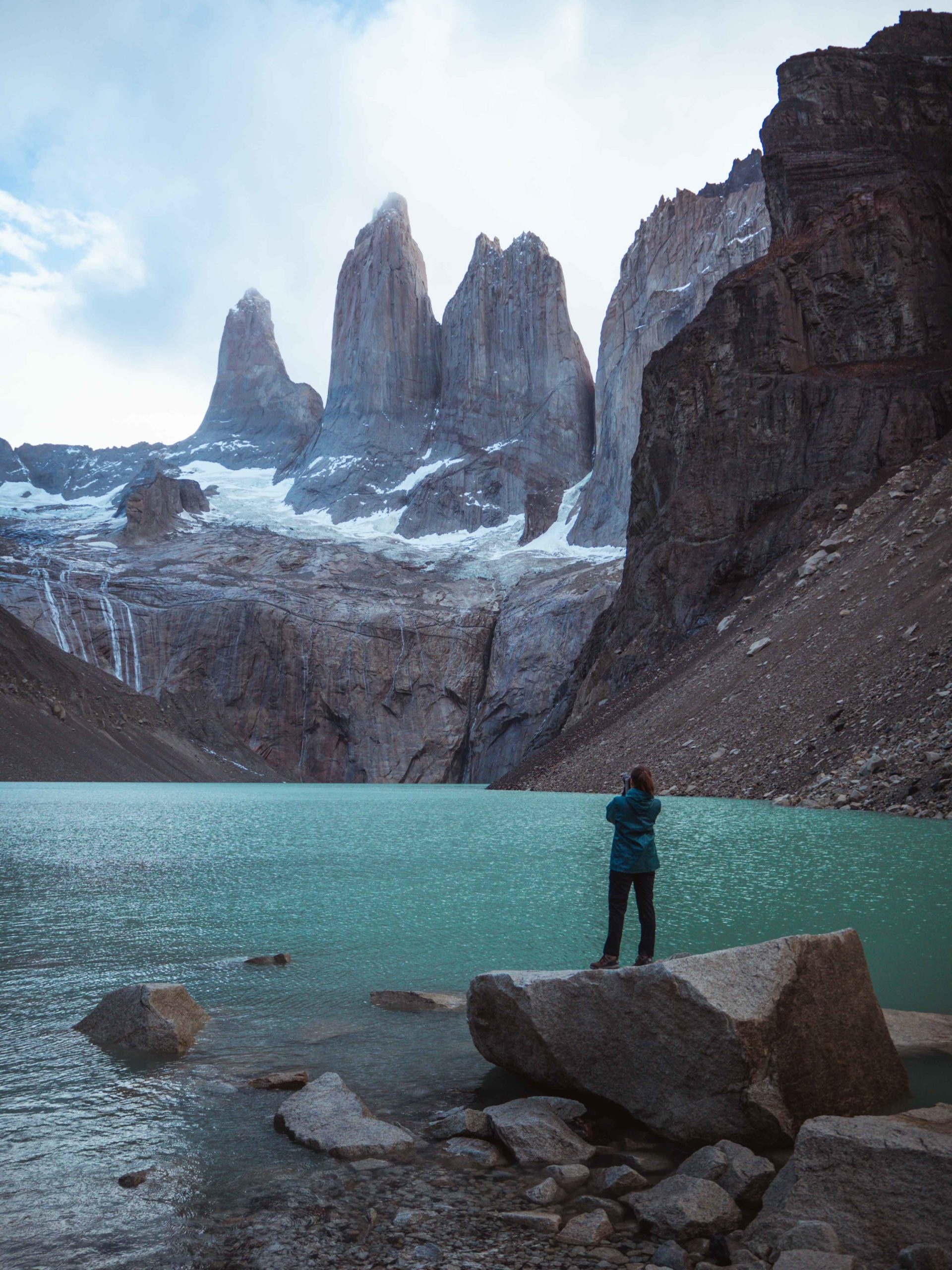
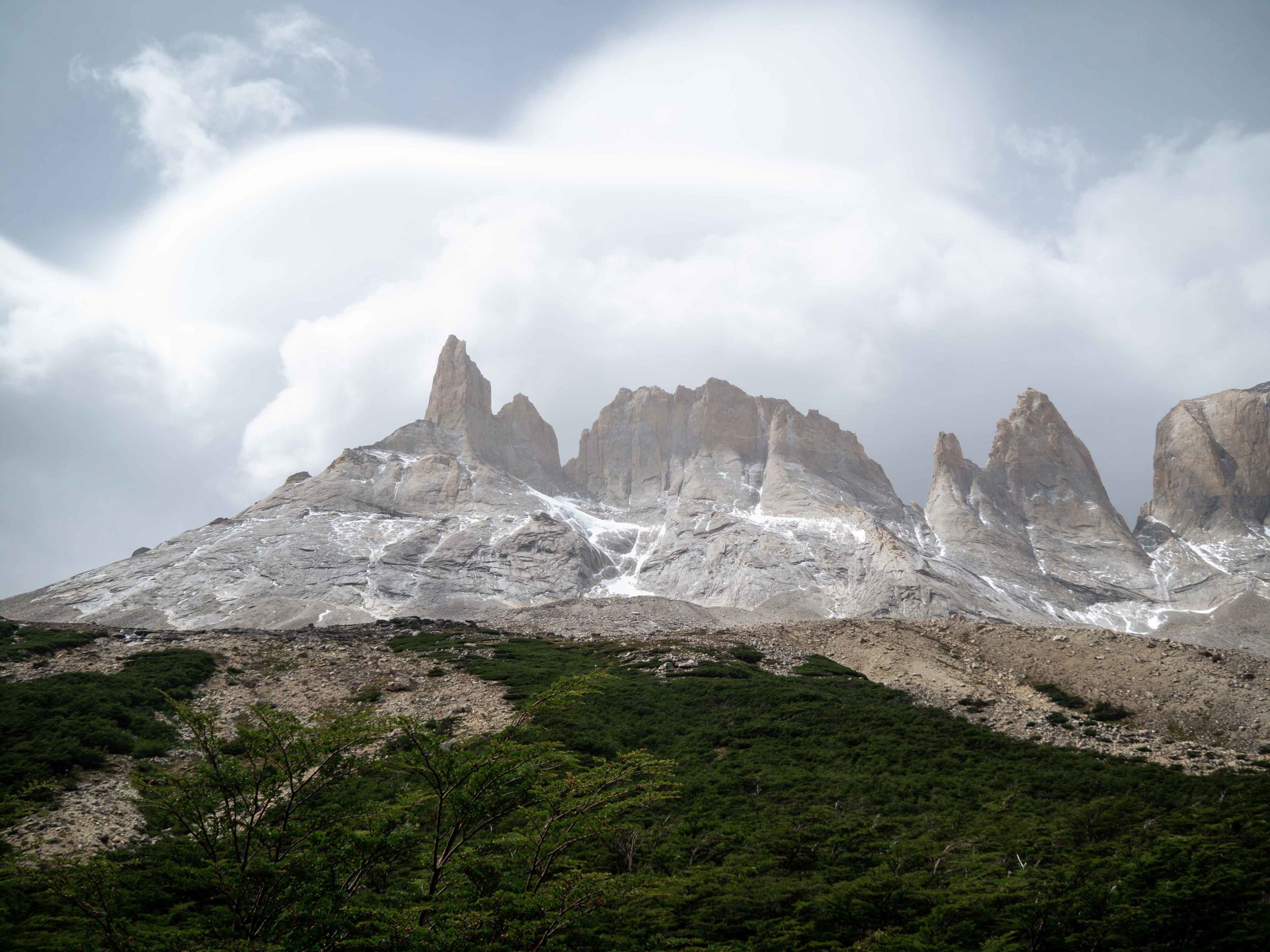
Exhausted, but happy we’ve made it, we finally arrive at the viewpoint. The turquoise mountain lake is in front of us, leading to the 3 granite mountains (2600m-2850m) which rise at the end of the lake. We have the entire place to ourselves and take a couple minutes to admire its beauty. Due to many clouds the sunrise is not really visible. However, the sun suddenly comes out while we are taking pictures.


Returning to Puerto Natales
We decide to make our way back to be able to catch the bus to Puerto Natales. Obviously, there are more people hiking up now, but I didn’t expect that amount. The path is crowded. And I don’t want to imagine how it must be on top. How lucky were we to have the place to ourselves.
After about 20km, 9 hours and 760m up and down again, we are at the campsite again. Completely exhausted. At this point I can barely walk anymore due to all the bladders.
We meet another hiker, who started the climb about an hour after us. Euphorically, he tells us that he saw a puma just in front of him. They stared into each other’s eyes and then the puma suddenly disappeared into obscurity.
What an end of this trek. But now, I really don’t want to walk anymore.


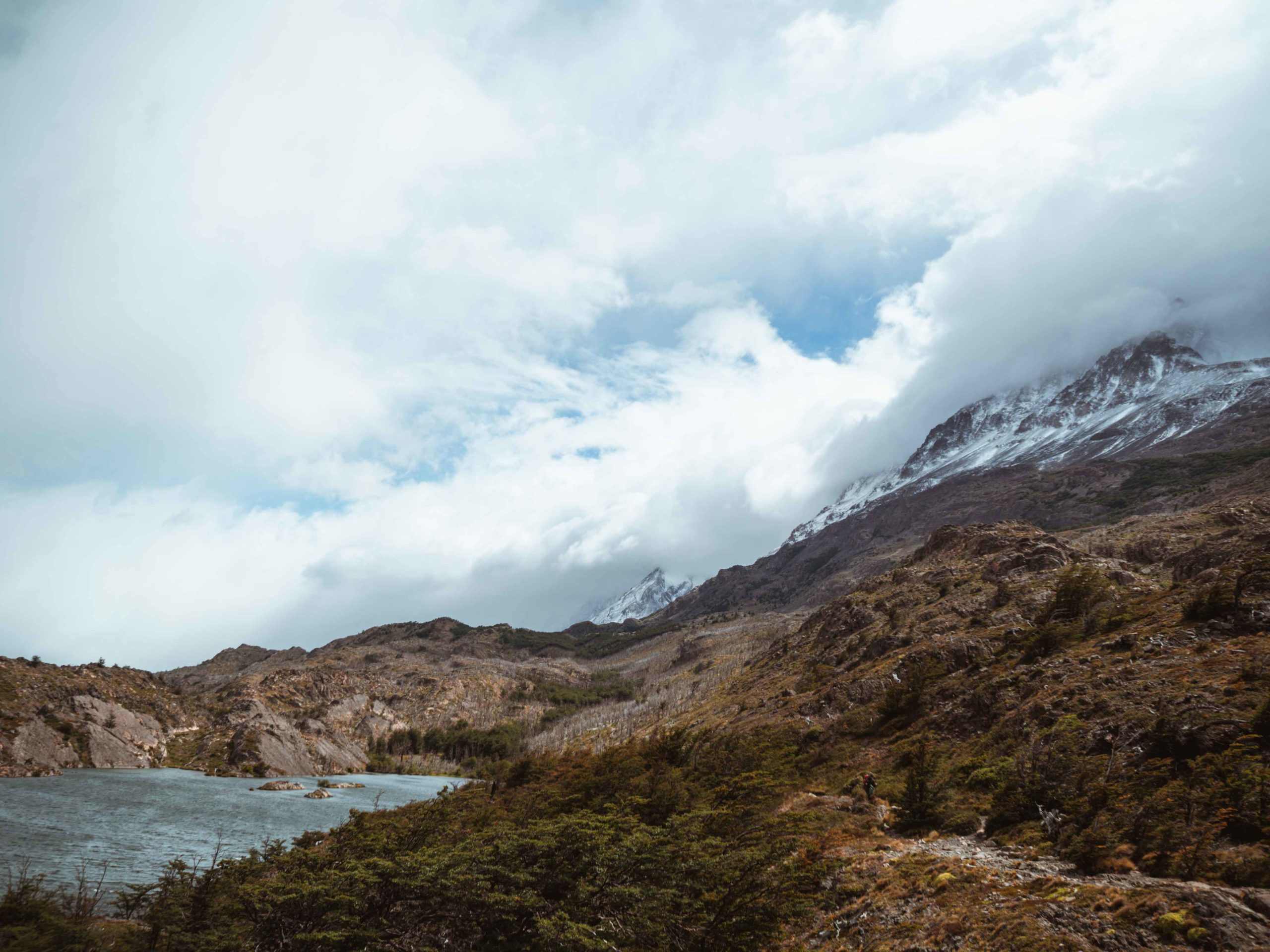





Breathtaking picture Vera! Now my desire to go is even greater 🙂 I really loved reading about your experience. It seems like you suffered a lot physically spoken but you were unbelievable in completing the W, it is not meant for everyone. Thanks for your work and can’t wait for the next one ☝️
Thank you! 🙂